How the places get into the games
Studio notes.
Most of these games are set somewhere real. This is where the real part comes from.
01 · Lake Pepin
The lake is real.
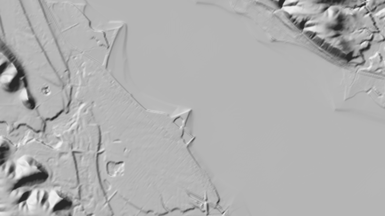
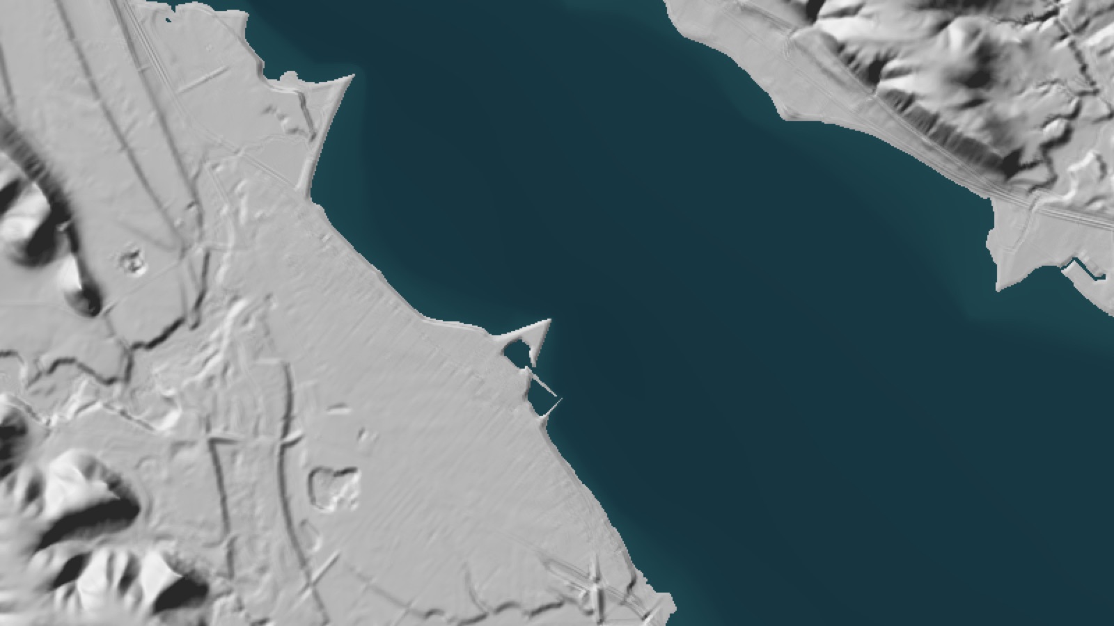
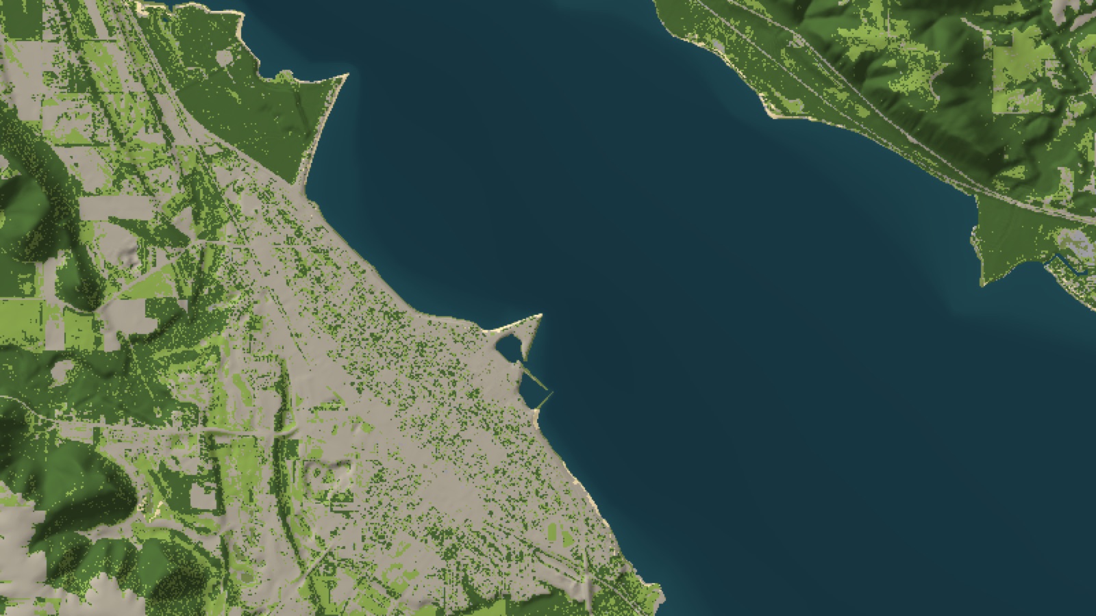
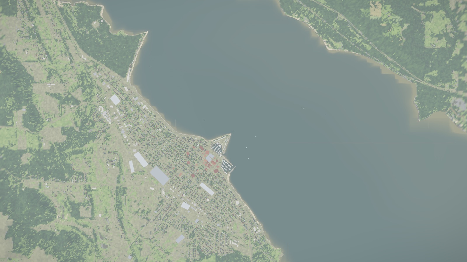
Lake Pepin is the widest water on the Mississippi, and Lake City sits on it. The boating game starts from public survey data and is built up one layer at a time. Scroll, or pick a step.
02 · Leaf Truck
The streets are real.
The town grid comes from OpenStreetMap. Leaf Truck builds Lake City on exactly that grid, and Garden and Oak Streets get the deepest piles. Drag across the picture.
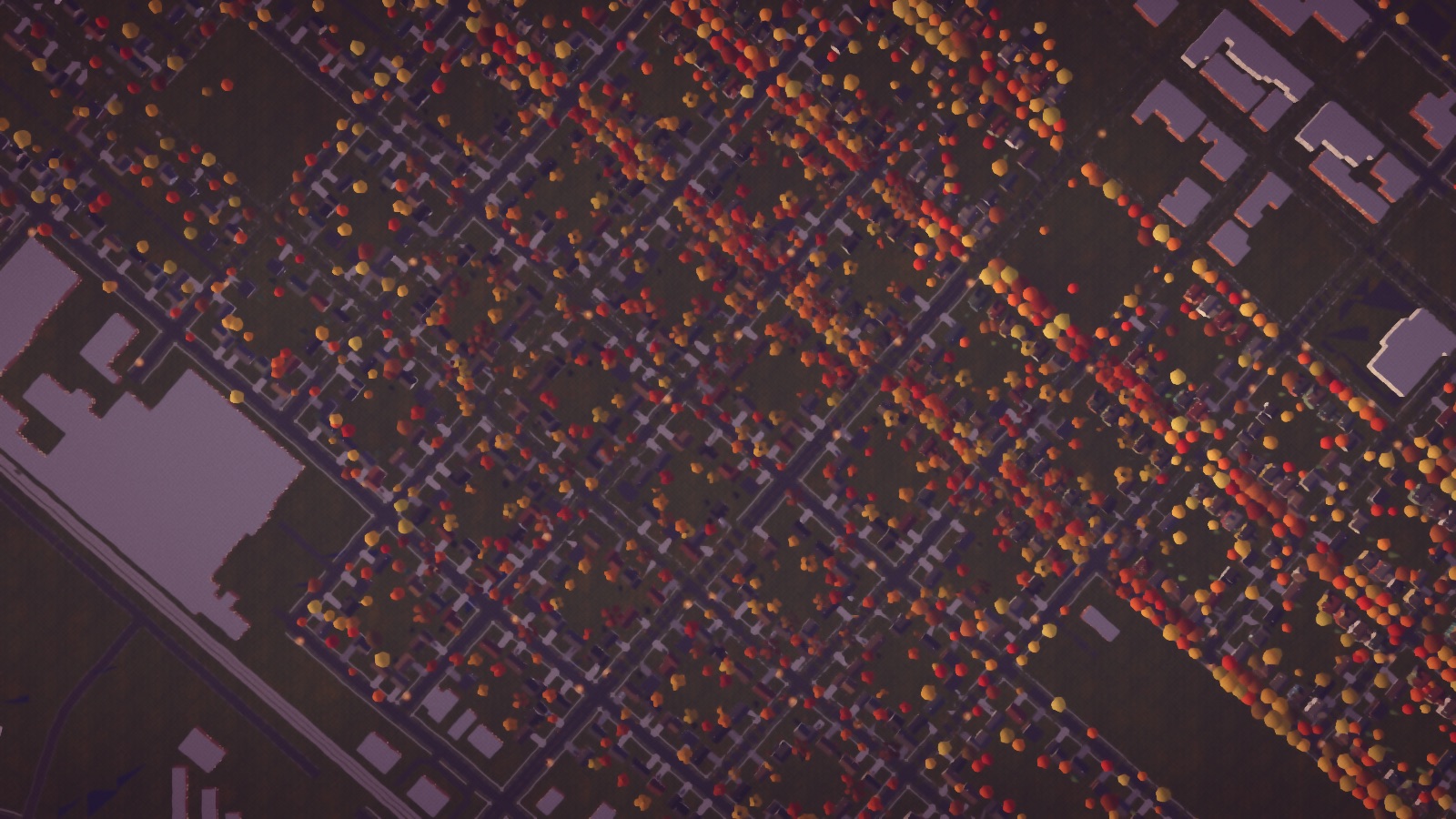
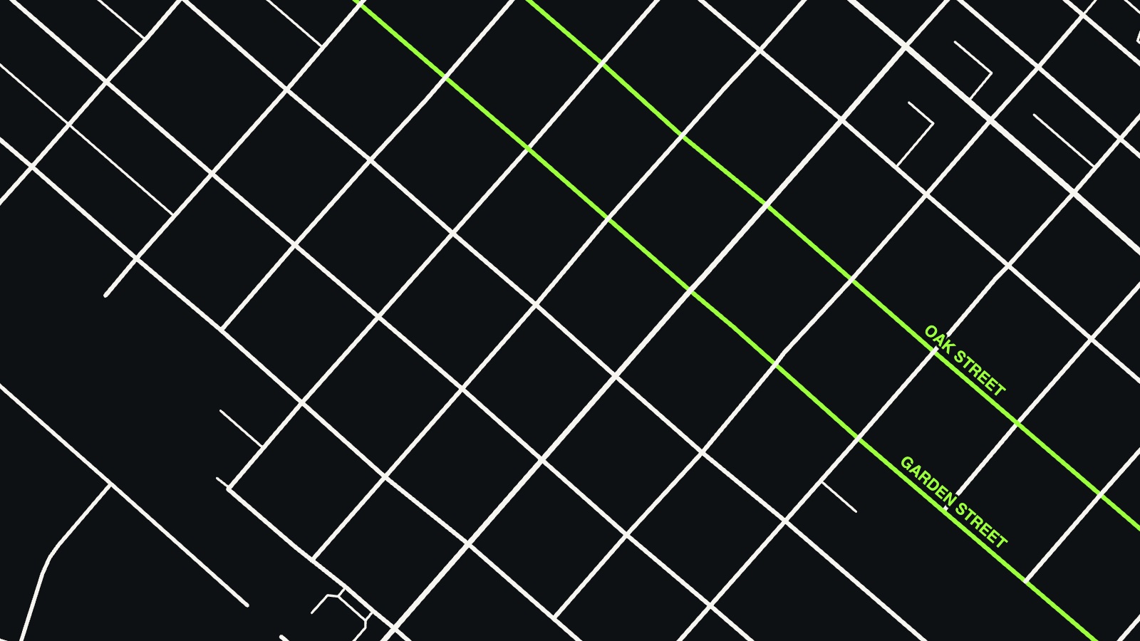
Flower Town and Pioneering are laid out on the same street data.
03 · Frontenac Ski Club
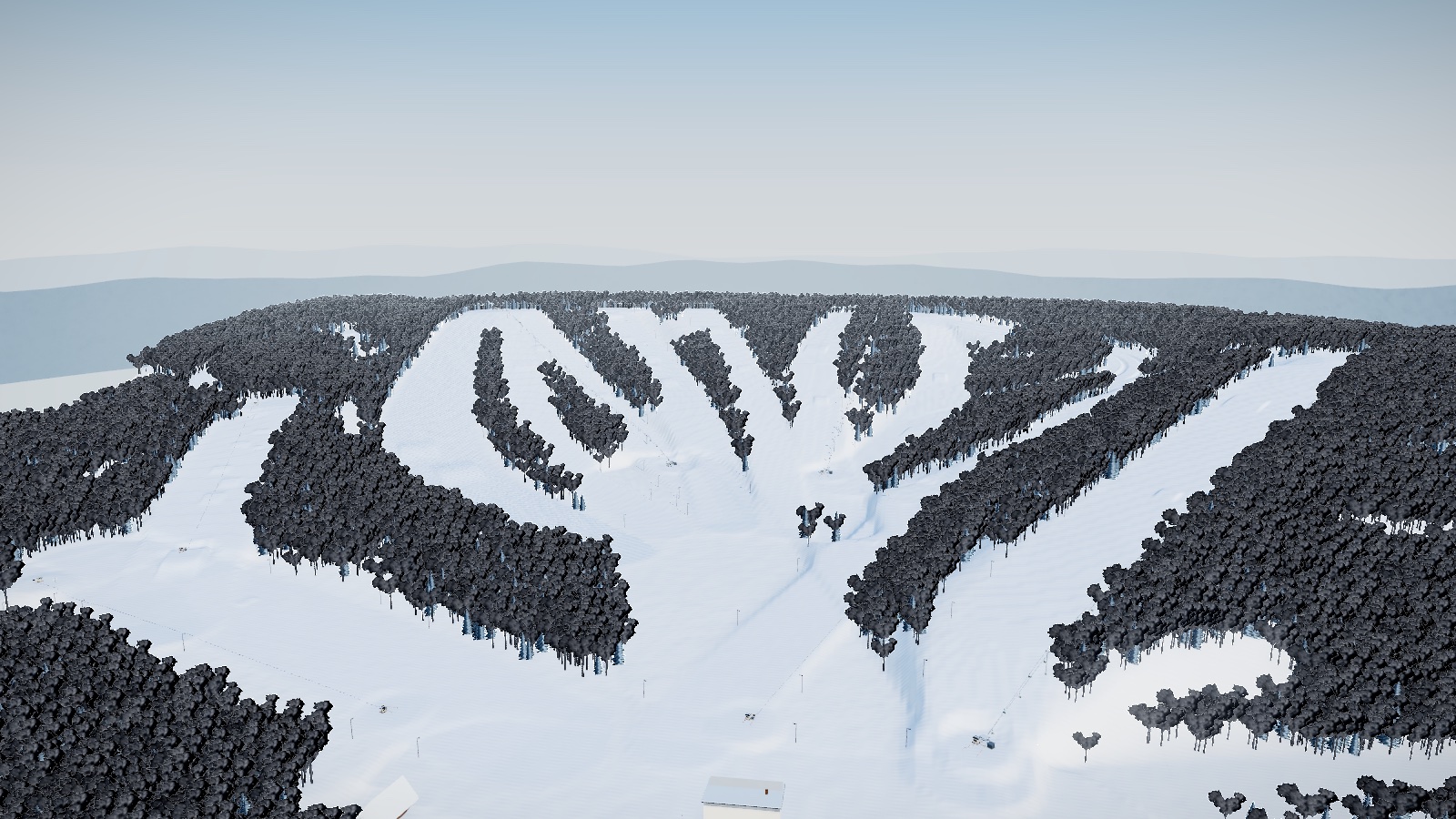
The hill is real.
The ski hill in Frontenac closed years ago. The game is the hill as its 1999 trail map drew it: fourteen named runs on the Mississippi bluffs. Here it is from where a trail map would paint it, out past the lodge looking up. Pick a run.
04 · Cold Creek Paintball
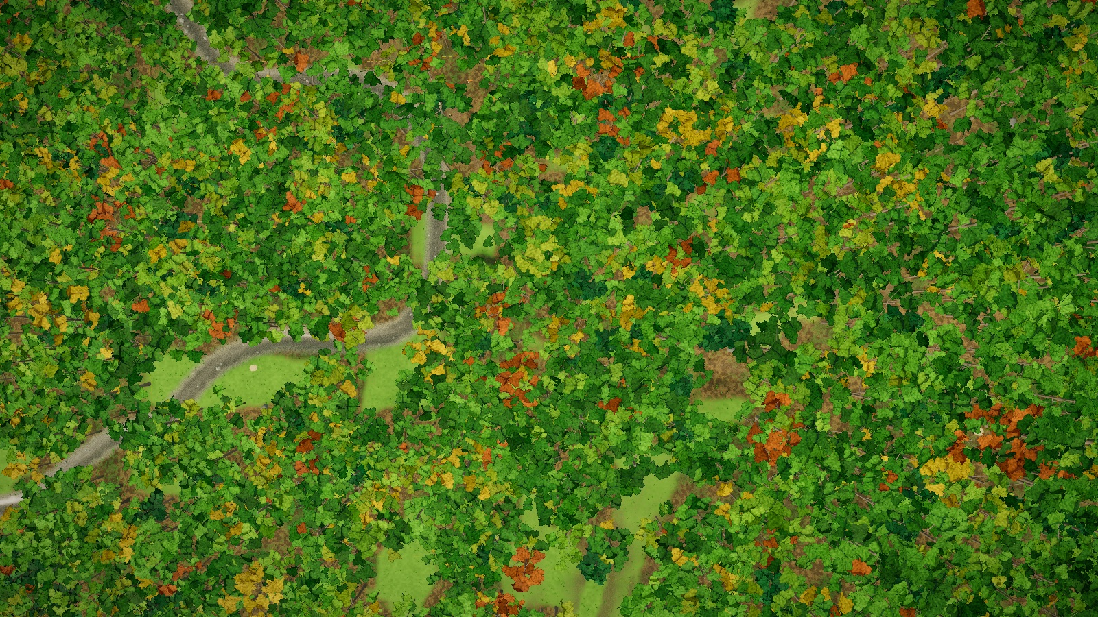
The woods are real.
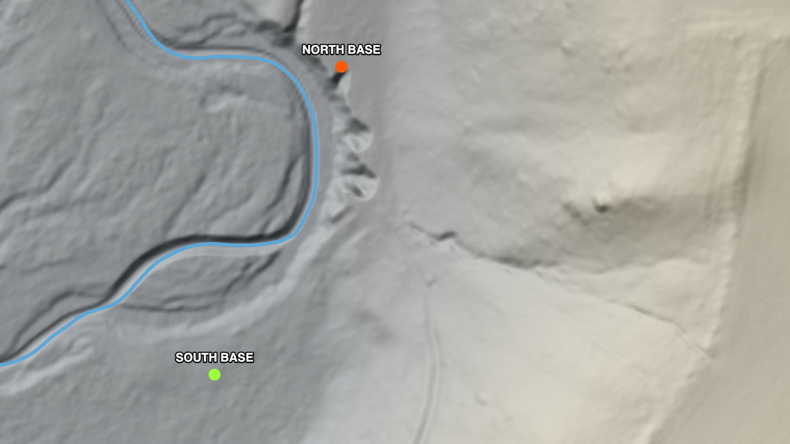
The paintball field is real ground: about six and a half acres of wooded bluff from the same USGS lidar, falling about 150 feet from the field edge at the top down to a creek. The creek runs where the lidar found it. Both teams start low, at opposite ends, with the hill above them both. Drag across the picture.
05 · The tools
How it’s made.
- Engines. Most of the games are written in Three.js; Eva’s Blobber Ball is Godot. Everything runs in the browser, with nothing to install.
- Public data. Elevation from the USGS lidar survey (the lake shore, the paintball woods), ground cover from USDA aerial photography (NAIP), streets from OpenStreetMap.
- AI help. Much of the code is written with AI tools (Claude and Cursor). The places, the rules and the calls are mine.
- Checks. Before an update goes live, each game is tested automatically: it loads, a round plays itself to the end, and the score reaches the leaderboard.